


------------------- INFORMATION FROM NOAA ------------------------
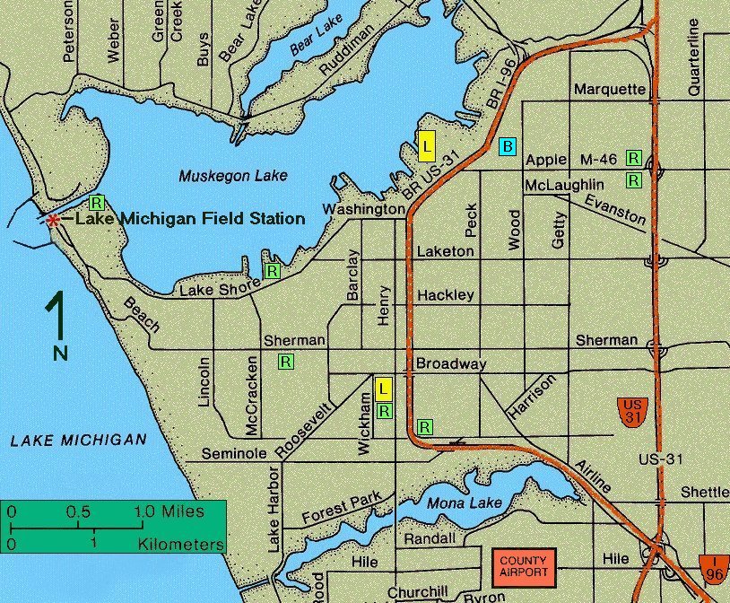
The NOAA/GLERL Muskegon webcam array is located at the Lake Michigan Field Station (LMFS) in Muskegon, Michigan. The array consists of four closed-circuit television (CCTV) cameras connected to a video server which controls the transmission of images via FTP at specified intervals. Images are transmitted from the video server to the NOAA Great Lakes Environmental Research Laboratory (GLERL) in Ann Arbor, Michigan and are made available to the public via GLERL's web server. |
---------------------------------------------------------------------

 MUSKEGON WEBCAM ARRAY SPECIFICATIONS

 LOCATION                NOAA/GLERL Lake Michigan Field Station
                          Muskegon, Michigan

 LATITUDE  (deg-min-sec) 43-13-41 N
 LONGITUDE (deg-min-sec) 86-20-20 W
 HEIGHT    (meters)      14
           (feet)        46
 ONLINE                  14 Oct 1998

 VIDEO SERVER            Axis 2400
 CAMERAS                 (3) Panasonic V-CP234
                         (1) Burle TC360
 IMAGE RESOLUTION        VGA (704x480 pixels)
 TRANSMISSION INTERVAL   10 minutes

  CAMERA     DESCRIPTION OF VIEW       ORIENTATION (degrees)

  CAMERA #1  SOUTH PIER LIGHT            250 (WSW)
  CAMERA #2  SOUTH BREAKWATER LIGHT      240 (WSW)
  CAMERA #3  SOUTH BREAKWATER            190 (SSW)
  CAMERA #4  MUSKEGON LAKE CHANNEL       060 (ENE)

 WEB ADDRESS             http://www.glerl.noaa.gov/webcams/lmfs/

---------------------------------------------------------------------
|
 |  |
| Orientation | Local Area |
Last update 2007/02/08 (gcm)
http://www.glerl.noaa.gov/webcams/lmfs/lmfs-webcams-info.html
http://www.glerl.noaa.gov/webcams/lmfs/lmfs-webcams-info.html